Refine: Analysis
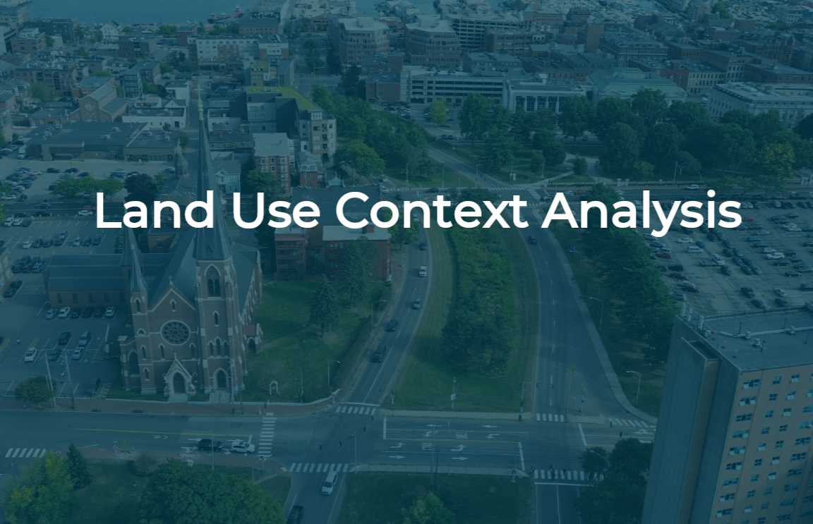
Understanding the Land Use Context
The Land Use Context Analysis provides an overview of key past and current factors influencing future opportunities for Franklin Street.
Franklin Street connects distinct areas of Portland and a diverse range of land uses. Through the spring and summer of 2025, project staff examined land use patterns, street grid connectivity, and the character of both the built and natural environments along Franklin Street and surroundings in our land use context analysis. Several main takeaways emerged:
Franklin Street was once surrounded by fine-grained, pedestrian-scaled neighborhoods. However, the historic street grid, portions of Lincoln Park, and the compact urban fabric were lost due to urban renewal.
Recent changes to the land use code present a transformative opportunity for future growth along Franklin Street, allowing significantly increased building heights and density to support mixed-use development. A context-sensitive design approach is essential to reflect and strengthen the existing neighborhood character and built form.
There are four sub-districts surrounding Franklin Street, each with distinct land use patterns and characters.
Several segments along Franklin Street face coastal flood risks, particularly in low-lying areas near Back Cove and the waterfront. There is a need for climate-resilient design, which includes green infrastructure as well as more resilient tree species.
Since 2015, many residential and mixed-use projects have been completed in the areas surrounding Franklin Street. In addition, there are also a number of planned developments including affordable housing, hotels, mixed-use, and park projects underway, indicating strong growth potential.